The soil profile across Central Coast NSW changes rapidly over short distances, and nowhere is this more evident than when comparing the deeply weathered Hawkesbury Sandstone residuals around Gosford with the Quaternary alluvial and estuarine sediments blanketing the Wyong River floodplain. A footing design that performs adequately in the silty sands of Narara may encounter completely different drainage and consolidation behaviour in the plastic clays of Tuggerah, where the fine fraction governs long-term settlement.
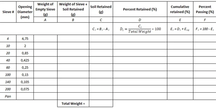
Grain size analysis using combined sieving and hydrometer methods provides the quantitative particle distribution that geotechnical engineers need to assign a proper soil classification under AS 1726 and to estimate permeability, frost susceptibility, and compaction characteristics. On the Central Coast, where Bureau of Meteorology records show annual rainfall exceeding 1,200 mm in coastal catchments, the fines content determined by hydrometer testing often controls whether a site requires subsoil drainage or can rely on natural infiltration. This dual-method approach bridges the gap between simple field logging and the advanced parameters needed for slope stability assessments in the region's dissected plateaus.
A 2% difference in clay fraction can shift a soil classification from silty sand to clayey sand, with direct consequences for site drainage design under AS 2870.
Technical details of the service in Central Coast NSW
Risks and considerations in Central Coast NSW
The Central Coast experienced rapid subdivision from the 1960s onward, when much of the land between the Pacific Highway and the railway line was converted from citrus orchards and dairy farms to residential estates with limited geotechnical investigation. Many of these older subdivisions sit on residual clayey sands derived from in-situ weathering of the Terrigal Formation, where the silt fraction, typically 15 to 35 percent passing 75 microns, was never properly characterised during original construction. Misclassifying a silty sand as a clean sand based on visual inspection alone can lead to underestimation of capillary rise and moisture sensitivity in pavement subgrades, while overestimating the clay content in a weathered sandstone profile may trigger unnecessary ground treatment for a soil that would perform adequately with proper compaction control. Site drainage failures in older Central Coast developments have been traced back to filter fabrics and aggregate drains designed without reference to a full particle size distribution, permitting fines migration that clogs drainage systems within three to five wet seasons. The hydrometer curve identifies the exact silt-to-clay transition point that determines whether a soil is susceptible to internal erosion, a mechanism that remains underappreciated in cut-and-fill lots on slopes steeper than 1V:4H.
Our services
The grain size distribution forms the foundation for most geotechnical design parameters, but the raw data becomes actionable only when integrated with complementary testing programs. The following services represent the typical workflow from sampling through to design recommendation on Central Coast sites.
Combined Sieve + Hydrometer Package
Full particle size distribution from 75 mm to 2 microns on a single representative sample. Includes oven-dry preparation, wash sieving over 75 µm, sedimentation hydrometer readings at 0.5, 1, 2, 4, 8, 15, 30, 60, 120, 240, and 1440 minutes, and a final semilog grading chart with Cu and Cc coefficients tabulated for immediate use in AS 1726 classification.
Hydrometer-Only Analysis for Fine Fractions
Targeted testing for soil samples where the coarse fraction is negligible and the engineering behaviour is controlled entirely by silt and clay content. Suitable for alluvial and estuarine deposits in the Tuggerah Lakes catchment where the sub-75-micron fraction exceeds 50 percent and Atterberg limits are required alongside the grading curve.
Grading-Based Filter and Drainage Design
Application of Terzaghi's filter criteria and Cistin-Ziems modification using the measured particle size distribution to specify drainage aggregate gradings, geotextile apparent opening sizes, and transition zones for subsurface drains in Central Coast hillside developments where perched groundwater is intercepted by cut batters.
Top questions
What is the typical turnaround time for a combined sieve and hydrometer analysis from a Central Coast site?
Standard reporting is five to seven working days from sample receipt. The hydrometer phase alone requires a minimum 24-hour sedimentation period per specimen, plus preparation including oven drying at 105°C, mechanical dispersion with sodium hexametaphosphate, and soak time. Samples with high organic content or iron oxide cementation may require pretreatment with hydrogen peroxide or acid washing per AS 1289.3.6.1, adding one to two days. We notify clients at sample drop-off if the material appears to need extended preparation.
How much does a grain size analysis (sieve + hydrometer) cost for a Central Coast project?
A combined sieve-and-hydrometer particle size distribution test typically falls in the range of AU$170 to AU$330 per sample, depending on whether the coarse fraction requires full sieve stack analysis or only wash-sieving, and whether pretreatment for organics or carbonates is needed. Projects submitting multiple samples from the same investigation receive consolidated pricing, and we provide a formal fee proposal before any work commences.
Why does AS 1289 require both sieving and hydrometer instead of just one method?
Sieving alone cannot characterise material finer than 75 microns, which on Central Coast alluvial and residual soil profiles often represents 20 to 60 percent of the total mass. The hydrometer method, based on Stokes' law, measures the sedimentation velocity of particles in suspension to determine the silt (2–75 µm) and clay (<2 µm) fractions. Without the hydrometer data, the engineer cannot calculate the uniformity coefficient Cu or confidently assign a group symbol under AS 1726, because the distinction between silty sand (SM) and clayey sand (SC) depends entirely on the fines fraction and its plasticity.